Floor plan upload
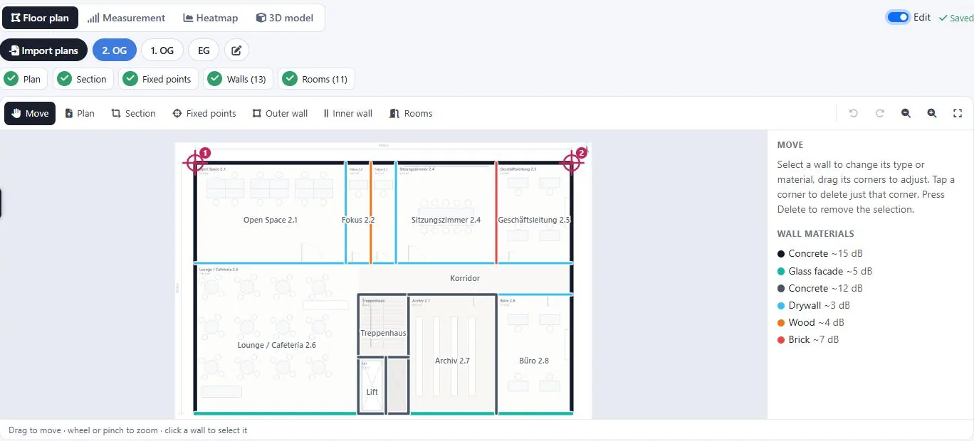
Upload floor plan images or multi-page PDFs, crop the relevant area and set the scale so distances and coverage are accurate.

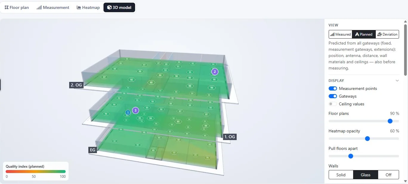
From the first floor plan to a full 3D coverage model.
Upload floor plan images or multi-page PDFs, crop the relevant area and set the scale so distances and coverage are accurate.

Position one or more gateways on any floor and set their mounting height to model coverage realistically.

Walk to a location, trigger an uplink and capture real RSSI, SNR and spreading factor — manually or automatically from device uplinks.

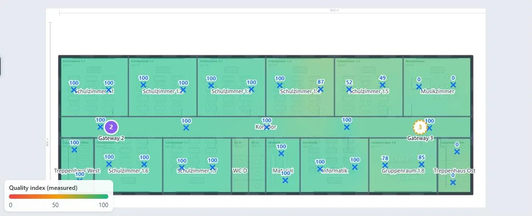
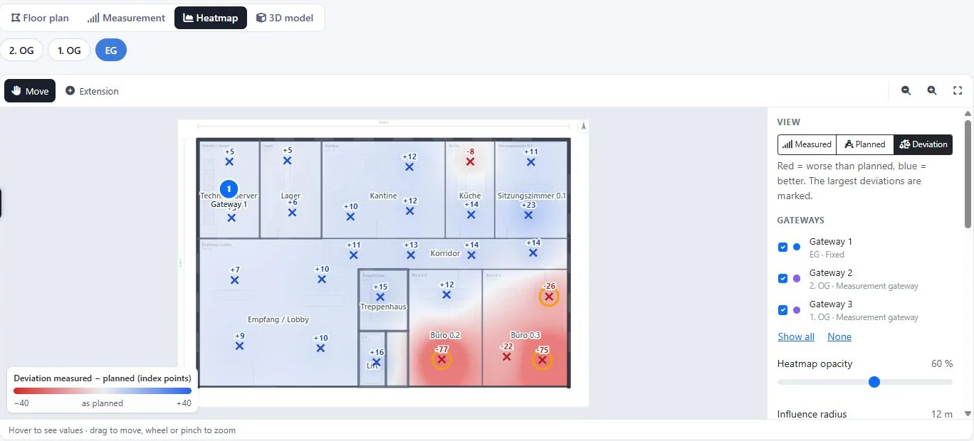
A smooth, interpolated coverage field maps your measurements from red (weak) to green (strong), with adjustable radius and opacity.

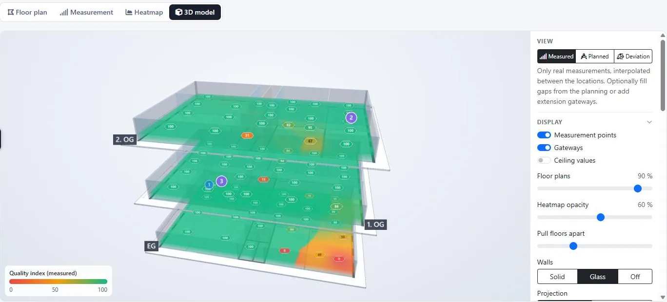
Stack floors and gateways in an interactive 3D model to understand how coverage behaves through the whole building.

Organise an entire building: add floors, keep each plan calibrated, and switch between them instantly.

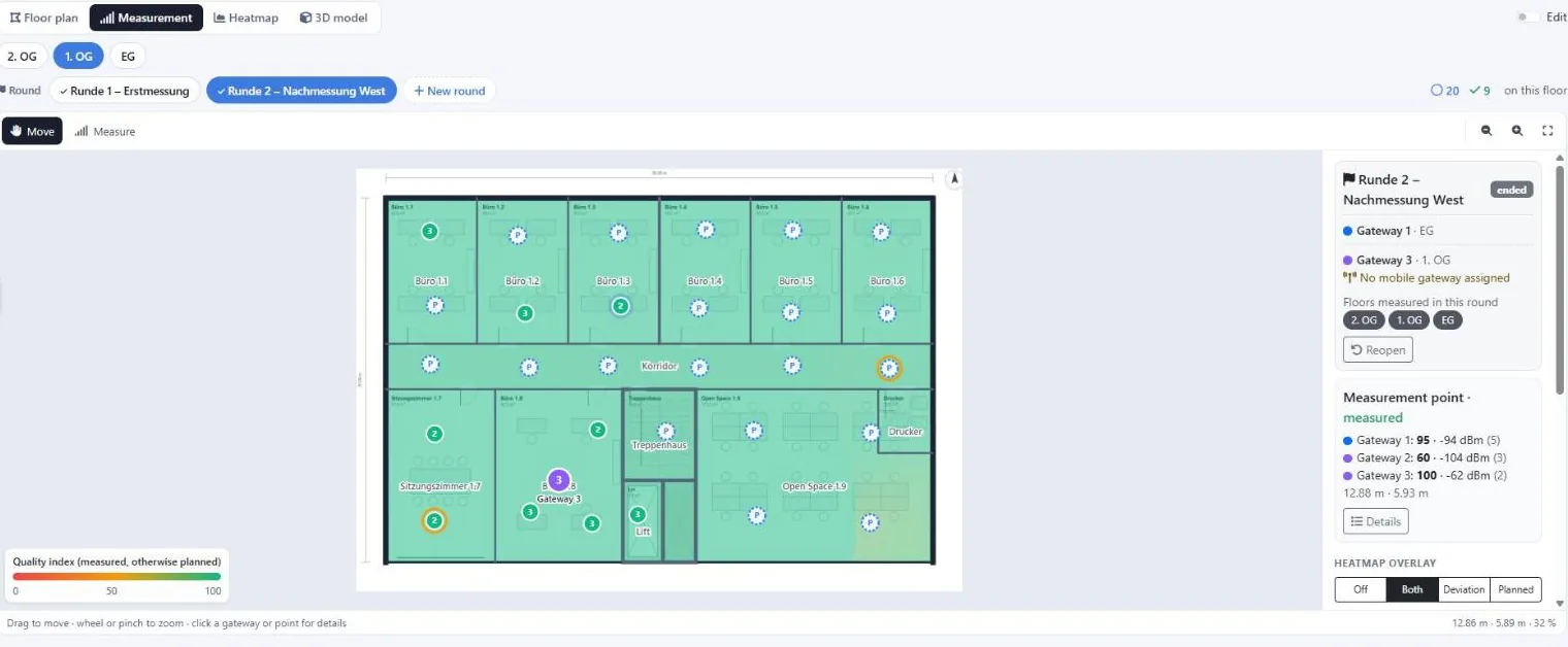
Organise measurements into campaigns — separate test runs per gateway position or configuration, so you can compare setups side by side.
Register your field-tester devices, see their live assignment to a site and point, and manage them across campaigns.

A single uplink is often heard by several gateways. LoRaMapper captures all receivers (RSSI/SNR each) per point, so you see coverage from every gateway at once.

Every sample gets a spreading-factor-aware quality index (0–100) from RSSI, SNR and SF — a single, comparable number that drives the heatmap colours.

Connect your LoRaWAN network server so real device uplinks flow into the right building and point automatically.

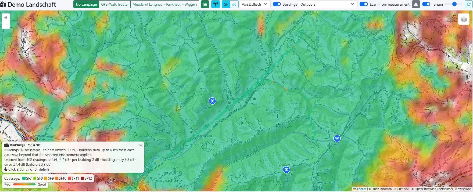
Beyond floor plans: capture GPS measurements outdoors and evaluate coverage against real terrain elevation.

Draw inner walls and assign materials so the coverage model accounts for real-world signal loss through walls. This feature is in development and coming soon.